IMPACT offers drone services that empower grower clients to be in tune with their fields and crops. Many of the services are complimentary to other facets of IMPACTS production management program. With drone imagery you will be able to assess stand, growth and health of your crops throughout important stages of the growing season. Additionally, topographical assessment can be performed to evaluate field drainage. Deliverables range from replanting and spraying recommendations, to plant health maps and prescription application files. Aerial imagery is an excellent way for clients to advertise their farm or business with photos of your business location or products in action.
Crop Health Monitoring
IMPACT offers drone services that empower grower clients to be in tune with their crops. Utilize timely flights over your fields to gain a whole field understanding of crop vigor.
Insect and Disease Mapping
Understand where you may have infestations in your fields including the exact area that is pressured with disease and insect mapping.
Plant Stand Evaluation
Determine the best areas to focus your replanting efforts based on historical yield in combination with an understanding of how well your plants have emerged.
Desiccation Assessment
When it is time to harvest your soybeans make use of desiccation products applied at the right time and with the right rate by basing it on the current variable maturity of your crop.
Crop Damage Documentation
Weather, or perhaps your neighbor, does not always work in your favor, but with damage documentation you will be prepared for insurance claims for lost value.
Drainage Analysis
Drainage is an important aspect of crop production and we can assist you in understanding areas of concern that may need improved water management.
Advertising Content Creation
Let us help you advertise your business with aerial imagery of your farm office, or your products in action.
Prescription Application Files
We have the capability to create prescription application files that can be sent to you for use in your sprayer or sent to your agricultural service providers for chemicals and granular applications.
Drone Service Examples
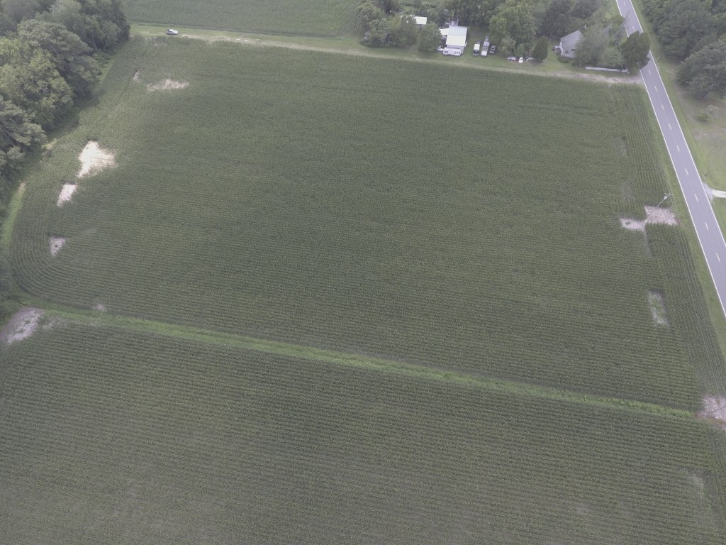
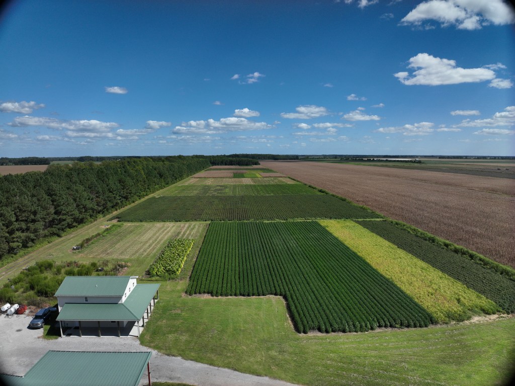
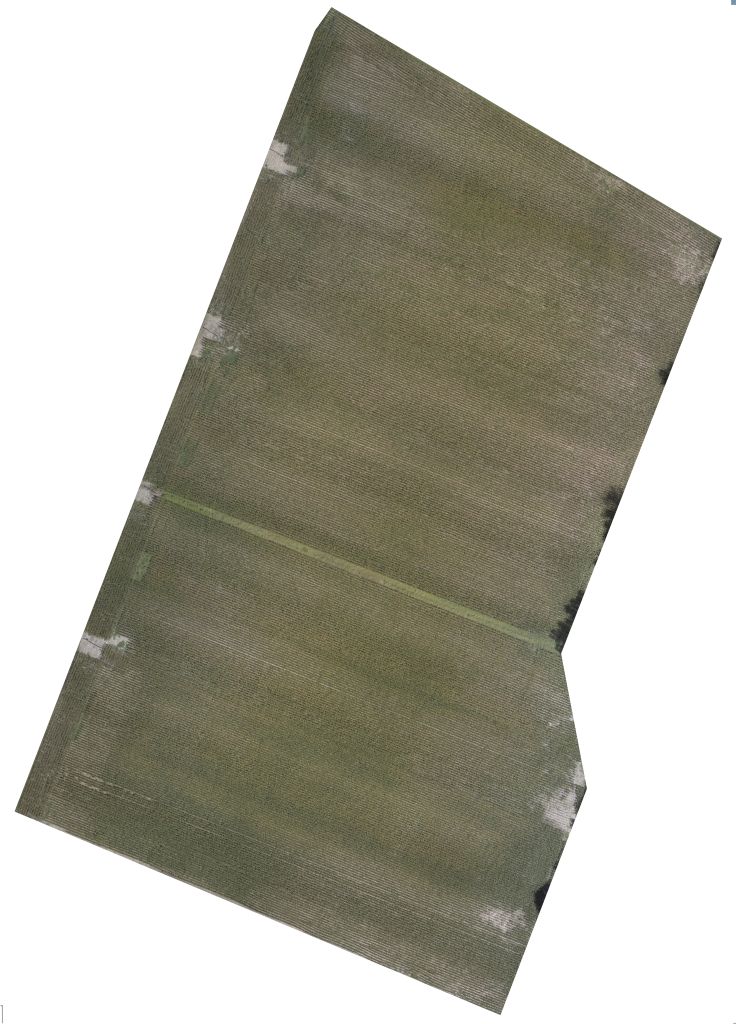
RGB Color Imagery
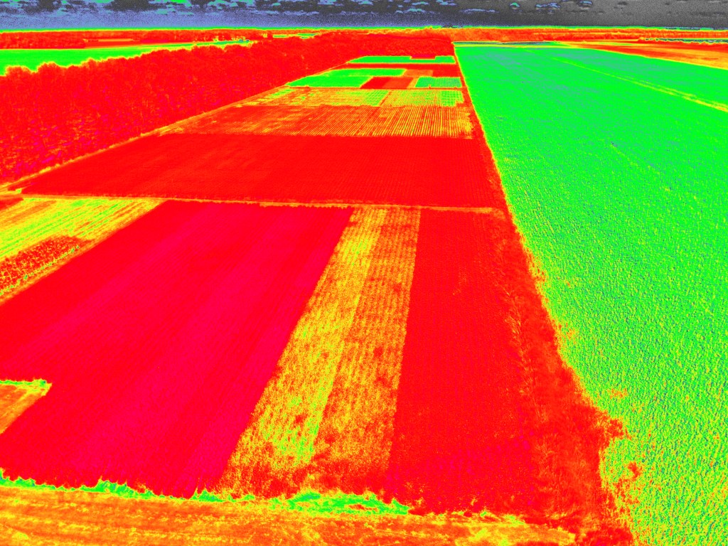
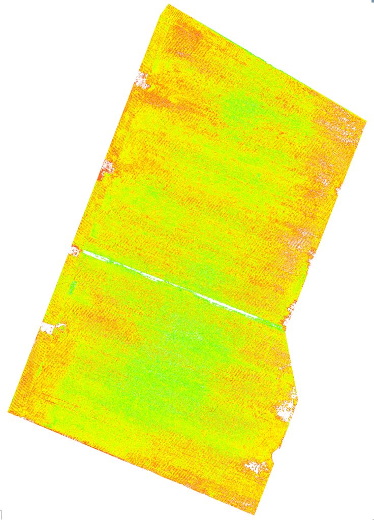
NIR/Red Edge Multispectral Imagery
Composite Maps
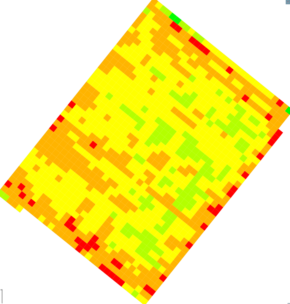
Index Maps
Operations Maps
